landingpage-1-3.png

Technology

Milliken Advisors offers state-of-the-art technology-based solutions to not only manage your property, but to also bring the data to you. Our Geographic Information System (GIS) and mapping services maintain detailed maps with a host of associated historical data to aid in making sound management decisions.

We use maps to analyze biodiversity, wildlife habitat, and neighboring features like ponds, rivers, roads, and power lines.

With the use of handheld GPS devices, data recorders, and smartphones, your GIS data is easily gathered, updated in the field, and deployed to you and other relevant stakeholders. Milliken helps you see your forest assets in new ways — at the broadest landscape level or in fine detail.

SERVICES
CONNECT

Meet our team and learn more about how we can help you maximize your land investment.

CASE STUDIES

Recreational Property

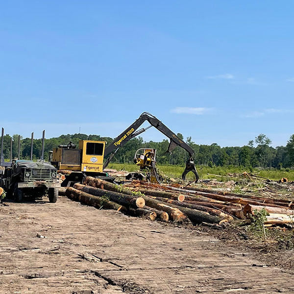
A 20,000-acre recreational-use property in Barnwell County, SC is intensively managed for forestry and hunting purposes. The property managers were faced with a challenge to keep track of all the activities happening on the property ranging from timber sales, quail hunting courses, to prescribed burn areas, etc.

image